

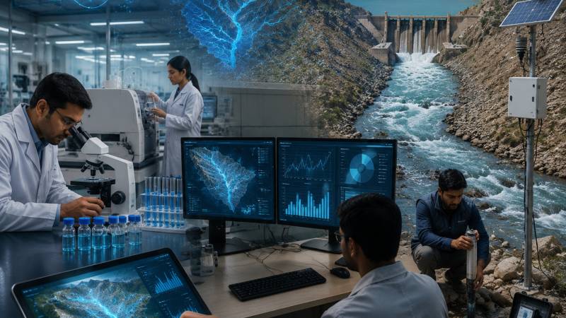
For decades, Pakistan's water debate has revolved around dams, canals and reservoirs. Every drought renews calls for new storage projects, while every flood revives demands for better infrastructure. These are important conversations, but they often overlook a more fundamental question: how well do we actually understand the water beneath our feet?
Groundwater now supplies nearly two-thirds of Pakistan's drinking water and irrigates much of the country's agricultural land. Yet in many parts of the country, we still do not know with sufficient certainty where this water originates, how quickly aquifers are replenished, how old the water is, or whether current extraction rates are sustainable. We measure what we can see—river flows, rainfall and reservoir levels, but much of Pakistan's most valuable water resource remains hidden underground.
This invisible resource is under growing pressure. Farmers across Punjab continue to drill deeper tube wells to sustain agricultural production. In Balochistan, centuries-old karez systems are disappearing as groundwater levels decline. Karachi struggles with chronic water shortages while seawater gradually intrudes into coastal aquifers. Climate change is altering snowfall, glacier melt and rainfall patterns across the Indus Basin, introducing uncertainties that traditional water management approaches were never designed to address.
The challenge is no longer simply one of water scarcity. It is increasingly a crisis of understanding. Fortunately, scientific advances are opening new possibilities. One of the most promising developments is the integration of artificial intelligence (AI) with isotope hydrology, an area of research that has recently received significant international attention through a new initiative of the International Atomic Energy Agency (IAEA). While the technology itself is sophisticated, its central objective is remarkably simple: helping countries understand their water resources more accurately so they can make better decisions.
The mention of nuclear science often evokes images of reactors or radiation, but one of its most valuable peaceful applications lies in understanding water. Isotope hydrology uses naturally occurring isotopes—different forms of hydrogen and oxygen present in water molecules as scientific tracers. These isotopic signatures function much like fingerprints, revealing where water came from, how long it has remained underground, how different water sources mix, and whether groundwater is being replenished or merely depleted. Such information is impossible to obtain through conventional measurements alone.
Artificial intelligence brings another dimension to this effort. Modern water management generates enormous amounts of information—from satellite imagery and rainfall records to groundwater monitoring, river discharge data, geological surveys and climate models. AI can analyze these complex datasets far more efficiently than traditional methods, detect hidden relationships, identify trends and help bridge gaps where observations are incomplete.
However, enthusiasm for AI must be tempered with scientific realism. Artificial intelligence excels at recognizing patterns, but it does not understand the physical laws governing groundwater movement. A machine-learning model may produce remarkably convincing predictions that are nevertheless scientifically implausible if they are not grounded in hydrological reality. AI is only as reliable as the quality of the data and scientific understanding upon which it is built.
Yet technology alone will not solve Pakistan’s water crisis. The greatest obstacle remains institutional rather than technical.
This is precisely why combining AI with isotope hydrology represents such an important advance. The isotope evidence provides an independent scientific check against which AI-generated interpretations can be tested. Rather than replacing expert judgment, artificial intelligence becomes a tool that strengthens it. This distinction deserves emphasis. In recent years, discussions surrounding AI have often oscillated between unrealistic optimism and unnecessary alarm. Some view it as a universal solution capable of transforming every sector, while others fear that it will replace scientists and professionals altogether. Neither perspective reflects reality.
In environmental science, AI is best understood as an exceptionally capable assistant rather than an autonomous decision-maker. It can rapidly organize information, identify anomalies and suggest possible interpretations, but it cannot replace field observations, scientific reasoning or professional experience.
For Pakistan, this balanced approach could prove invaluable. The country already possesses substantial scientific expertise. Institutions such as the Pakistan Atomic Energy Commission, the Pakistan Council of Research in Water Resources, WAPDA, SUPARCO, the Pakistan Meteorological Department and numerous universities have accumulated decades of hydrological, geological and environmental data. Yet much of this information remains scattered across institutions, collected using different standards and rarely integrated into a unified national framework. The problem is not always the absence of data. Often, it is the inability to combine existing knowledge into a coherent picture.
Artificial intelligence offers an opportunity to overcome this fragmentation. By integrating isotope measurements, groundwater observations, satellite data and climate records into unified analytical systems, researchers can construct far more realistic representations of Pakistan's water resources than has previously been possible.
An even more ambitious concept is now emerging internationally: the development of digital twins. A digital twin is essentially a virtual representation of a real-world system that continuously updates itself using real observations. Imagine a dynamic digital model of the Indus Basin capable of incorporating rainfall, glacier melt, groundwater levels, river flows, satellite imagery and isotope data simultaneously. Scientists could test the impact of droughts, floods, groundwater extraction or climate change long before these events unfold in reality.
Such models are already being used in manufacturing, aviation and urban planning. Water management may well become their next major application. For Pakistan, the implications are significant. Groundwater depletion in central Punjab, seawater intrusion along Sindh's coastline, declining recharge in Balochistan and increasing climate variability across the northern mountains could all be analyzed within an integrated scientific framework. Policymakers would gain a far clearer understanding of where intervention is needed and which management strategies are likely to succeed.
Yet technology alone will not solve Pakistan's water crisis. The greatest obstacle remains institutional rather than technical. Water governance in Pakistan is divided among numerous federal and provincial organizations with overlapping responsibilities. Hydrological data are often collected independently, stored in incompatible formats and shared only selectively. Universities, research institutes and government agencies frequently work in parallel rather than in partnership. Without stronger coordination, even the most advanced technologies will deliver only limited benefits.
The country therefore requires a national strategy that treats water information as a strategic resource. Data sharing should become routine rather than exceptional. Monitoring standards should be harmonised. Investment should extend beyond physical infrastructure to include scientific capacity, digital modelling and interdisciplinary research.
Equally important is the development of local expertise. The future of water management will require hydrologists who understand artificial intelligence, computer scientists familiar with environmental modelling, geologists capable of interpreting isotope data and policymakers able to translate scientific evidence into practical decisions. Universities should encourage interdisciplinary programs that bridge these traditional academic boundaries.
There is also an important lesson about responsible use of artificial intelligence. Around the world, policymakers are becoming increasingly aware that AI systems must remain transparent, interpretable and scientifically accountable. Decisions affecting water security cannot be based on opaque algorithms whose reasoning nobody understands. Scientific evidence, quality assurance and expert evaluation must remain at the heart of decision-making.
Artificial intelligence should enhance human judgment rather than replacing it. Perhaps this is the most valuable aspect of the IAEA's recent initiative. Its emphasis is not on developing more powerful algorithms for their own sake, but on ensuring that AI supports scientifically defensible, transparent and evidence-based water management. In an era increasingly captivated by technological hype, this insistence on scientific integrity is both refreshing and necessary. Pakistan has often responded to water crises reactively, after floods devastate communities, after aquifers decline, or after droughts threaten agricultural production. The future demands a different philosophy: one based on anticipation rather than reaction.
Science cannot produce more rainfall, nor can it eliminate climate change. What it can do is reduce uncertainty. It can reveal hidden groundwater systems, distinguish sustainable extraction from overexploitation, identify vulnerable aquifers before contamination spreads and help policymakers evaluate competing options with greater confidence.
For too long, Pakistan's water conversation has centered almost exclusively on engineering structures visible above ground. The next chapter of water security may depend just as much on understanding the invisible water below the surface, and on harnessing the intelligent technologies that allow us to see it more clearly. The country's greatest investment in water may no longer be another dam alone. It may equally be an investment in better science, better data and better decisions.