

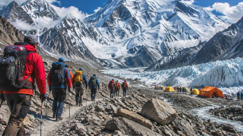
"K2 Base Camp" makes a neat headline. It names a clear goal, the foot of the world's second-highest mountain, and has become shorthand for the whole Baltoro trek. On the ground, though, base camp is not the hardest choice a trekker makes. The harder one comes at Concordia: walk back down the same glacier, or climb over Gondogoro La into the Hushe valley. That decision changes the fitness, equipment, timing and risk of the entire trip. With one season over and the next being planned, it deserves more attention than it gets.
The two options share their first half. Both climb the Baltoro from Askoli to Concordia and the base camps. One then returns the same way; the other continues over Gondogoro La and descends to Hushe, a route the Gilgit-Baltistan tourism department says was established in 1986. The approach is identical. The experience is not.
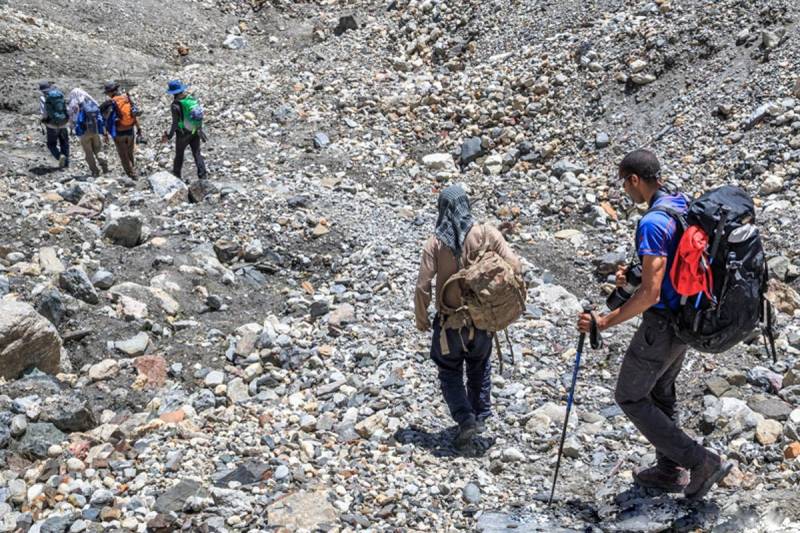
Trekkers crossing the rocky moraine of the Baltoro Glacier. Photo: Chogori Adventure
A pass, not a path
The Gilgit-Baltistan tourism department's own description of Gondogoro Pass is plain about this. It puts the pass at 5,585 metres, about 25 km south of K2, linking the Vigne Glacier on the northeast side with the Gondogoro Glacier on the southwest. It says the crossing involves Class 4 climbing with crampons, and that both sides have slopes of up to 50 degrees with avalanche risk. On the southwest side, it adds, up to 300 metres of fixed rope may be needed. It is more honest to call it a mountaineering day inside a trekking itinerary.
Those ropes do not appear by themselves. In a 2018 account for Dawn, Imad Brohi described how a rescue team from Hushe village fixes the ropes at the start of each season, looks after them through the summer and takes them down in late August, charging crossing parties a fee. Outside that window, he wrote, teams would need high-altitude porters to fix their own lines. In other words, the "open season" on Gondogoro La is partly something people build each year.
The clock matters more than the distance
The stage from Ali Camp over the pass to Khuspang is only about 8 km, but local stage guides allow 9 to 12 hours for it, with roughly 585 metres of ascent and 900 metres of descent. Parties set off in the dark. Brohi's team woke at midnight so they could cross before the sun warmed the slopes and raised the risk of avalanches and icefall.
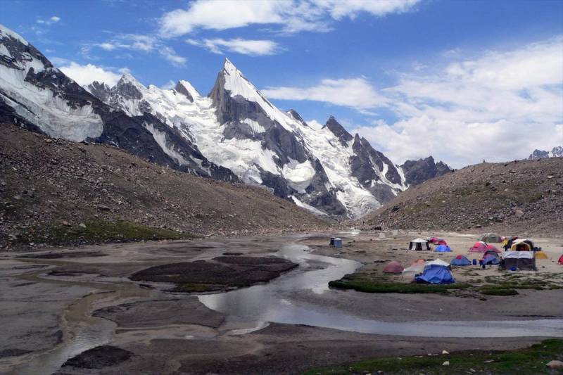
A trekking camp on the K2 Base Camp and Gondogoro La route. Photo: Chogori Adventure
Timing across the season matters as well. The Wikipedia entry on the pass notes that the crossing is easier earlier in summer and that crevasse, avalanche and rockfall hazards rise substantially by August as the snow melts. Operators commonly advertise a window from late June into August, some into early September. The two points do not conflict; they show that no month is simply "safe". What matters is the condition of the pass that week. My advice is to treat at least one spare weather day as essential, not a luxury.
The arithmetic of altitude
The US Centers for Disease Control and Prevention's Yellow Book guidance on altitude illness, citing the Wilderness Medical Society, recommends that above 3,000 metres travellers raise their sleeping altitude by no more than 500 metres a day and add an extra night for every 1,000 metres gained. It also states something many fit trekkers do not expect: training and physical fitness do not affect the risk of altitude illness.
On a typical Baltoro-Gondogoro itinerary, sleeping altitudes rise gradually from about 3,000 metres at Askoli to around 4,700 metres at Concordia, and the highest night before the pass is at Ali Camp, at roughly 5,000 metres. A well-paced loop therefore builds acclimatisation before the hardest day. The practical lesson, and this is a recommendation rather than a rule, is that cutting days to save money removes the margin that makes the crossing manageable.
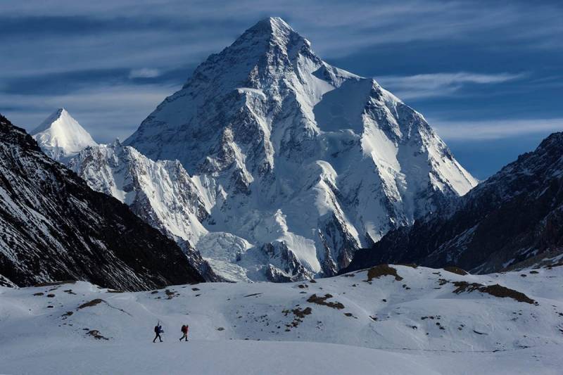
K2, with two trekkers crossing the snow below. Photo: Chogori Adventure
Paperwork applies to Pakistanis too
Domestic hikers used to organising their own trips to the north's more accessible meadows should note that the Baltoro works differently. The GB tourism department's FAQs state that all trekking in Gilgit-Baltistan must be registered, that permits are required in restricted areas, and that hiring a licensed guide and porter there is mandatory. A PTDC guide to mountaineering and trekking adds that Pakistani nationals apply for trekking permits through a tour operator licensed by the DTS, Gilgit-Baltistan's tourist services regulator, and that a permit takes at least 30 days to process, with 45 days advised. Fees and procedures change, so readers should confirm current figures with the department rather than rely on old blog posts.
Questions worth asking
The base camp is the headline, but the pass is the decision. Anyone weighing the loop for next summer should ask a few questions. Is the crossing actually included, or merely described as "optional"? Who fixes and maintains the ropes, and is that fee covered? Is there a spare weather day? What equipment, such as crampons, a harness and a helmet, is required, and who provides it? And if the pass is closed, does the fallback involve returning down the Baltoro, with the extra days and costs that entails? A trip that answers these questions clearly is likelier to end well in Hushe than one sold on a photograph of K2.