The present urban flood threat in Pakistan reminds me of the Great Trigonometrical Survey of India, which is known to geographers, surveyors and the general public by its acronym, GTSI. And to this day, I thank William Lambton and George Everest who made possible the GTSI. An equally important initiative was the Atlas of India Project (AIP), although prior to it James Rennell had played an important role in Indian cartography.
The GTSI generated multiple data sets. One of the categories was “figure of the earth”. In plain language it talks about the navigation, surveying, land use and real estate. This data helped in developing communication, irrigation and construction projects. Later, in the 1820s, the Atlas of India Project (AIP) was launched, with the aim of preparing medium-scale maps of the Indian Subcontinent. When coupled, data from GTSI and AIP contributed to town planning, especially laying the water lines and drainage outlets.
The British colonial authorities introduced curricula with the intention of conveying a knowledge of drawing, geometry and geography. As a result, the departments of Public Instruction in various presidencies and states commissioned authors to prepare textbooks containing lessons about local geography, irrigation and drawings thereof.
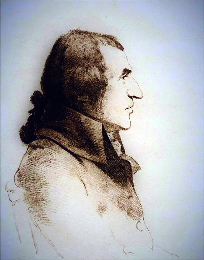
William Lambton, who initiated the GTSI
In 1853, the Sindhi Textbook for class III has a lesson entitled “School Jo Naqsho Kadho” ( “Draw the School’s Map”) and it was followed by another lesson, “Goth Jo Naksho Kadho” (Draw the Village’s Map”). School textbooks published from the 1800s to 1936 contained some lessons on geography, geology and irrigation. In addition to that, books were published for the popularization of arithmetic and understanding of history. On the other hand, specific accompanying books were also published. In 1854, a drawing book was published. Its title was “Chit Ji Parr” (“Root of Design”), and on similar lines in 1861 another book “Dharti Nirwar” (“Geography of the World”) was published.
These books played an instrumental role in the introduction of basic concepts of drawing and measurement to students. The practice continued till the 1950s. Over a period, these themes, as well as subjects, were gradually dropped from the schools’ curricula. Finally, General Zia-ul-Haq’s Islamization policy completely altered the situation. Polytechnic institutions, engineering colleges, and universities carried such instruction in their curricula. However, the students who passed through schools and colleges from the mid-1980s and entered intermediate colleges in the early 1990s could not get the opportunity to learn these subjects. It was on entering professional colleges and engineering universities where the majority were for the first time exposed to topics like “Basic Drawing”, “Scale Mapping” and “Vertical and Slope Angles”.
Thus, understandably, few were able to grasp concepts in water-related geometry such as Hydraulic Radius and Rating Curve. A considerable number even faced problems in the handling of the survey equipment and geometric tools.
Such learning gaps hold them back from the proper applications of those concepts.
Finally, a considerable number joined the public departments and Pakistan’s booming housing industry. Nowadays, the tasks of the latter are accomplished through contractors. So, they engage administrators and petty contractors. However, some engineers are also employed, and their presence is just limited to fulfilling the bare minimum requirements. Overall, the engaged human resources are not technically competent to implement construction projects. The majority fails to understand detailed drawings of the housing schemes. So these drawings are handed over to the projects’ head workers, and they have own standards to execute these projects.
One head worker told this scribe that regarding laying out of water and sewerage lines, there is only one standard: “how to reduce the length and reduce the cost”
One head worker told this scribe that regarding laying out of water and sewerage lines, there is only one standard: “how to reduce the length and reduce the cost.” The leveling, length, volume of water consumption, population and size of the pipes is neither a priority of the projects’ owners, nor is it much of a consideration for the governments’ monitoring bodies.
Inevitably, in a short span of time, such lines are choked. Therefore, all housing projects’ budget allows for the installation of high-powered pumping machines. What these machines pump out is then dropped into natural waterways or natural depressions. This, in fact, is happening from the late 1970s onwards. Consequently, natural waterways are converted into drainage channels. The worst part is that these pumping machines never work during the rains, due to the failure of electricity supplies irregular water flow during those periods.
And so, urban flooding is a regular feature in the monsoon season. It happens because the science of water has its own principles. Failure to understand these and how water finds its level means that houses and even entire residential colonies are flooded annually.
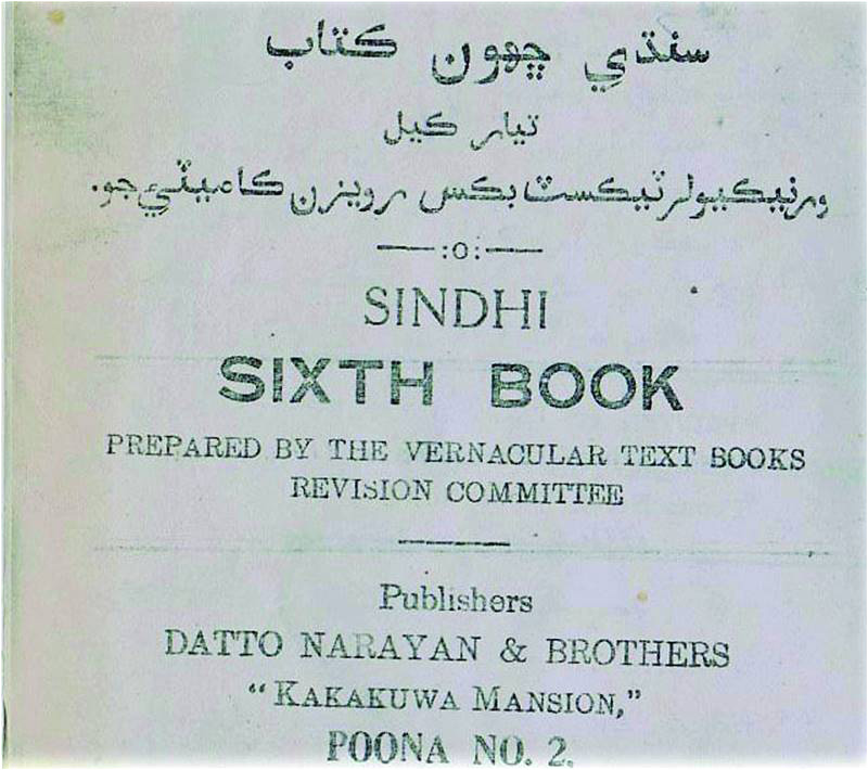
In the era of the Raj, the Sindhi textbook for Class VI contaiend lessons on 'Indian Waterways and Channels'
Apart from faulty house schemes, another cause of urban floods is the technique of constructing metaled roads. These roads are constructed by laying another layer on top of existing roads. In doing so, the level of the houses is never considered and within three to five years houses are six to nine inches lower than that the level of the roads. Therefore, a small volume of rain converts the roads into water-carrying bodies and this flows to the low-lying houses. As stated earlier, town planners have never considered what the traditional routes of water are, where the depressions are and what the general contour of the towns is. Therefore, inter-city roads, link roads and circular roads are made only on the principle of achieving short-cuts and diversions. In this process, natural water-flow routes are closed. Consequently, these newly built road networks convert the towns and cities into mini-dams.
The above description is a snapshot of the situation of urban planning in Pakistan.
Now the question arises as to how to avert such a situation.
A lot could be learned from cities which have already gone through the same situation. Perhaps, based on their experience they might suggest that the location of culverts, bridges and diversions – which, in any case, should be decided on the principles of science rather than political considerations. They might direct us to learn from British-era railway tracks, culverts, arches, and bridges. To be able to do so would require also an educational system which combines more than one engineering discipline. Proper urban planning, after all, requires the application of geometry, material science, cartography and statistics at the very least.
If we succeed, younger generation will be better aware about the old GTSI. They might be able to understand its technical terms. They might even bring to the table contemporary aids such as Google Maps, auto-CAD, satellites, Geographical Information Systems and Remote Sensing. In fact, aside from better urban planning, this might even lead to a better understanding of big data regarding climate change and oceanography.
Dr. Zaffar Junejo has a Ph.D in History from the University of Malaya. His areas of interest are post-colonial history, social history and peasants’ history. He may be reached at junejozi@gmail.com